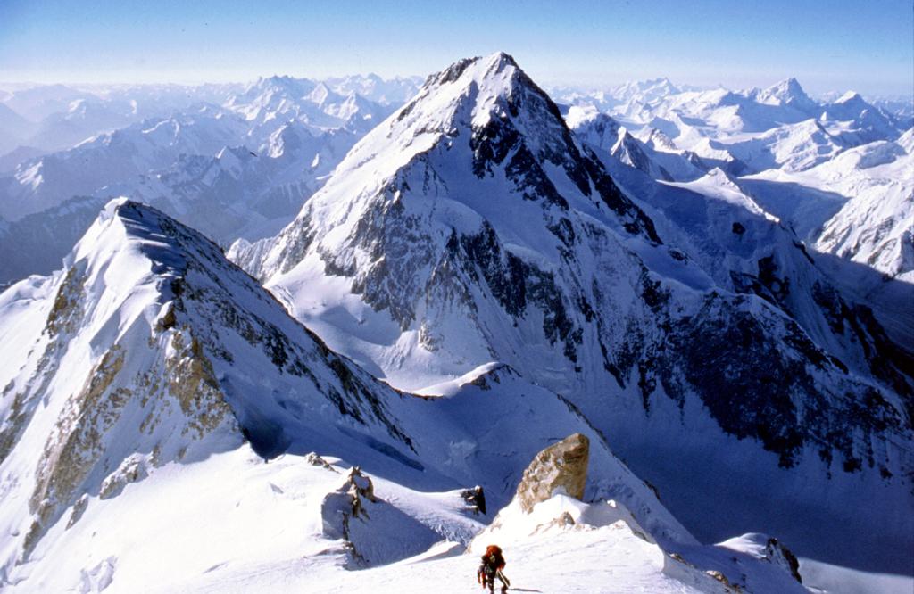
The highest mountains in Asia, called the Himalayas and Karakoram ranges, have 14 tall peaks. These are the highest mountains on Earth. Nepal has eight of these huge peaks, which is amazing. Climbing on the highest peak in the world is extremely exhilarating, but also very tough. To conquer this dream you need a special team, a high level of mountaineering experience, determination, plan and preparation.
Among the tallest mountains in the world, the most difficult to summit is K2. While Cho Oyu ranked the sixth highest, people think it’s a bit easier to climb compared to others. Climbing all 14 of these gigantic mountains is like the ultimate test for mountain climbers. Till today not so many people have done it – less than 50, actually. This shows how hard it is, and people keep track of all this in a special database.
The mountains above 8000m are really dangerous because they are so high up. This part is called the ‘Death Zone‘ where the air doesn’t have enough oxygen for humans to stay for a long time. So, climbing these mountains is extremely challenging and risky.
Even though it’s challenging, many mountaineers have successfully summited this highest peak. With strong determination and hard work, everything is possible. You might have also heard the news that a man from Nepal climbed all 14 of these giant mountains in just 189 days, breaking a record.
Let’s know more about each of the 14 gigantic mountains below.
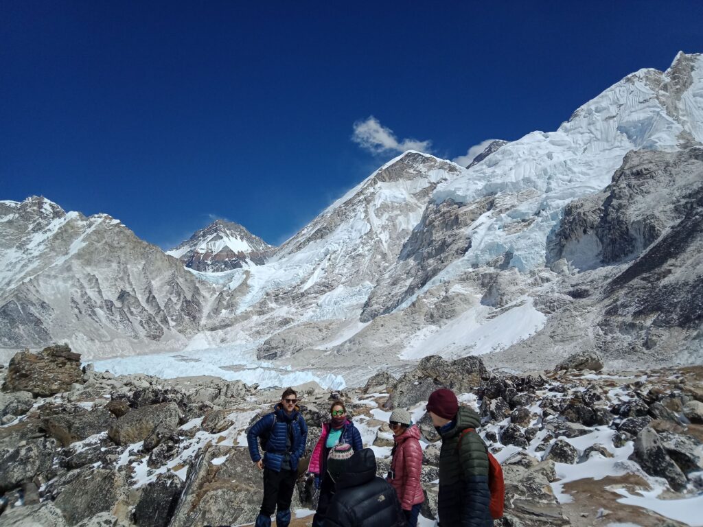
Everest (8,850m,29,035ft)
Everest Facts | |
| Height | 8,848.86m(29,031ft) |
| Location | Nepal |
| Region/Range | Mahalangur Himalaya |
| First Ascent | Edmund Hillary (New Zealander, UK), Tenzing Norgay (Nepalese) |
| Summit date | May 29, 1953 |
| Co-Ordinates | 27°59′17″N 86°55′31″E |
| World ranking | 1 |
In 1953, some brave people from Britain, led by Tenzing Norgay and Edmund Hillary, were the first to successfully climb Mount Everest. It’s the tallest mountain in the world, and reaching its top is an incredible experience. Even though it’s not the toughest or most dangerous mountain it is like the ultimate adventure for climbers. Standing at the top of the world’s highest mountain gives climbers one of the best feelings in life.
There are several paths to climb Everest, but most people like to follow the path that Tenzing Norgay and Edmund Hillary took in 1953. For your kind information, Everest is the most climbed mountain that’s higher than 8,000 meters. You won’t believe but there was a traffic jam when teams went to make their final ascent through the “death zone” to the summit of the world’s tallest peak.
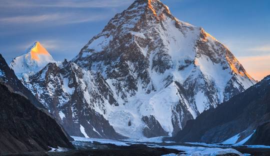
K2( 8,611m, 28,250ft)
K2 Facts | |
| Height | 8,611m(28,250ft) |
| Location | Pakistan |
| First Ascent | A. Compagnoni, L. Lacedelli (Italian) |
| Summit date | Jul. 31, 1954 |
| Co-Ordinates | 35.8800° N, 76.5151° E |
| World ranking | 2 |
After many attempts, K2 was finally successfully summited on July 31, 1954, by an Italian team led by Ardito Desio. K2 is the second-highest mountain after the Everest. This incredible mountain sits in the Karakoram range, found in both Pakistan’s Gilgit-Baltistan region and China’s Taxgorkan Tajik Autonomous County. It’s a top spot for adventurous folks who love trekking and exploring mountains from all over the world. If you’re into breathtaking views and challenging trails, this majestic mountain is a must-visit.
K2 is also known as Savage Mountain, and it is a challenge to climb. Many climbers claim that it is a savage mountain that tries to kill you. Out of the fourteen highest mountains on the planet, K2 is the deadliest one. This mountain has a pyramid shape and is pretty isolated and tough to tackle. It often faces avalanches and harsh storms, making it quite a challenge. With tricky slopes, a really tough landscape, and not-so-great weather, it’s considered the hardest mountain in the world to climb. Only the bravest adventurers take on this formidable peak.
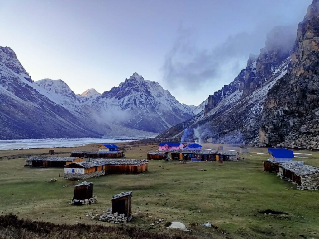
Kangchenjunga(8,586m,28,169ft)
Kanchenjunga Facts | |
| Height | 8,586m(28,169ft) |
| Location | Nepal |
| Region/Range | Kanchenjunga Himalaya |
| First Ascent | G. Band, J. Brown, N. Hardie, S. Streather (UK) |
| Summit date | May 25, 1955 |
| Co-Ordinates | 27.7025° N, 88.1475° E |
| World ranking | 3 |
In 1955, Joe Brown and George Band made the first ascent on 25 May, followed by Norman Hardie and Tony Streather on 26 May. Kanchenjunga is the third-highest mountain globally, standing tall at 28,169 feet (8,586 meters). It’s located in the eastern Himalayas, right on the border of Sikkim state in northeastern India and eastern Nepal. This mountain is a big part of the Great Himalayan Range.
There are two Base Camps to climb Kangchenjunga, Kangchenjunga North Base Camp on the Kangchenjunga Glacier and the South Base Camp on Yalung Glacier. The two camps’ admittance is from Suketar (2400m), the town with the nearest air terminal to the mountain with trips to Kathmandu.
Mount Kanchenjunga is classified with an alpine grade of PD+/AD and requires about two months for climbers to reach its summit during an expedition. It’s not recommended for inexperienced climbers or those attempting their first 8000-meter expedition. However, for seasoned and skilled technical climbers, it presents a delightful challenge. If you’re up for the adventure and have the expertise, Kanchenjunga is a mountain worth considering
Lhotse(8,516m,27,940ft)
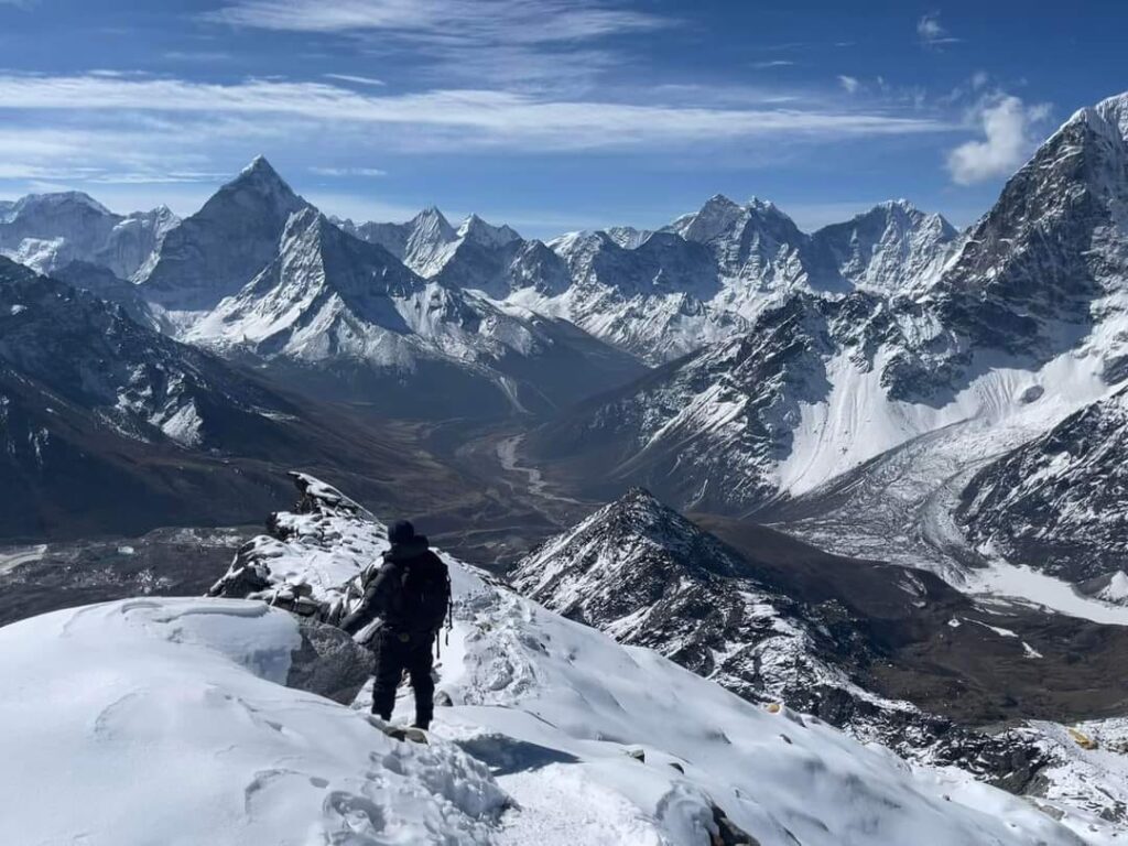
Lhotse Facts | |
| Height | 8,516m(27,940ft) |
| Location | Nepal |
| Region/Range | Mahalangur Himalaya |
| First Ascent | F. Luchsinger, E. Reiss (Swiss) |
| Summit date | May 18, 1956 |
| Co-Ordinates | 27.9626° N, 86.9336° E |
| World ranking | 4 |
Back on May 18, 1956, a Swiss team made history on Mount Everest. Two climbers named Ernst Reiss and Fritz Luchsinger, part of the Swiss Mount Everest/Lhotse Expedition, reached the summit.
Lhotse stands as the fourth highest mountain globally, towering at 8,516 meters (27,940 feet). It’s a key part of the Everest massif and is linked to Mount Everest through the south col. In Tibetan, Lhotse translates to “South Peak,” and its summit sits right on the border between Tibet and the Khumbu region of Nepal. It’s a significant peak in this part of the world. Lhotse shares the same base camp as Mt Everest and is connected to Everest via the South Col.
Makalu(8,463m,27,766ft)
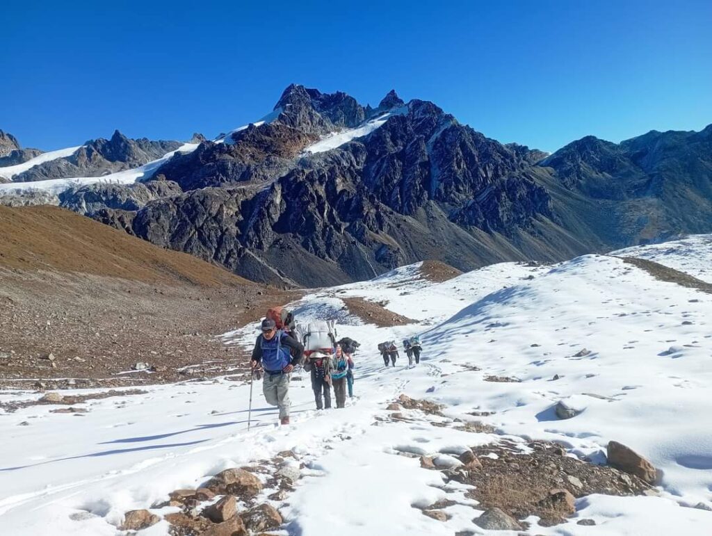
Makalu Facts | |
| Height | 8,463m(27,766ft) |
| Location | Nepal |
| Region/Range | Mahalangur Himalaya |
| First Ascent | J. Couzy, L. Terray, J. Franco, G. Magnone-Gialtsen, J. Bouier, S. Coupé, P. Leroux, A. Vialatte (French) |
| Summit date | May 15, 1955 |
| Co-Ordinates | 27°53′23″N 87°05′20″E |
| World ranking | 5 |
On May 15, 1955, a French Expedition, led by Jean Franco, made history by conquering Makalu. The summit, standing tall and proud, was first reached by climbers Lionel Terray and Jean Couzy.
Mount Makalu is situated about 20 kilometres east of Mount Everest in the Khumbu region. It proudly holds the title of being the fifth-highest mountain globally. Nestled within the Makalu Barun National Park, this mountain is famous for its flawless pyramid shape, adorned with four distinct sharp ridges. It’s a remarkable sight in the Himalayas! This mountain is the only Nepalese 8,000 m peak which has yet to be climbed in true winter conditions.
Cho Oyu(8,201m,26,906ft)
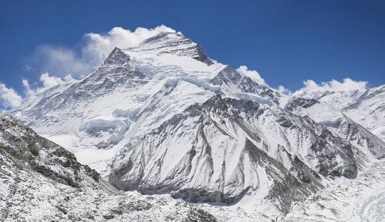
Cho Oyu Facts | |
| Height | 8,201m(26,906ft) |
| Location | Nepal |
| Region/Range | Mahalangur Himalaya |
| First Ascent | H. Tichy, S. Jöchler (Austrian), Pasang Dawa Lama (Nepalese) |
| Summit date | Oct. 19, 1954 |
| Co-Ordinates | 28.0960° N, 86.6615° E |
| World ranking | 6 |
On May 19, 1954, a historic climb took place on Cho Oyu, a mountain reaching 8,188 meters (26,863 feet). The summit was successfully reached by Josef Jöchler and Herbert Tichy, both from Austria, alongside Pasang Dawa Lama, who hailed from India and was a Sherpa.
Cho Oyu means “Turquoise Goddess” in Tibetan. The mountain lies in the Khumbu sub-section of the Mahalangur Himalaya. Mt.Cho Oyu (8,201m/26,906ft) is the sixth-highest mountain in the world. Climbers often say Cho Oyu is one of the easiest peaks because it lacks tricky technical sections and major dangers. It’s a straightforward climb, taking about six weeks for a round trip. This makes it perfect for those with limited time, attracting many climbers. Recently, Cho Oyu has become incredibly popular among ski mountaineers and snowboarders, especially in the fall, thanks to its low risk and great snow conditions. It’s a hotspot for those seeking a thrilling mountain experience!
Dhaulagiri(8,167m, 26,795ft)
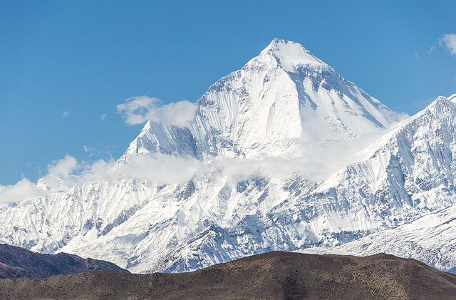
Dhaulagiri Facts | |
| Height | 8,167m(26,795ft) |
| Location | Nepal |
| Region/Range | Dhaulagiri Himalaya |
| First Ascent | A. Schelbert, E. Forrer, K. Diemberger, P. Diener (Swiss), Nyima Dorji, Nawang Dorji (Nepalese) |
| Summit date | May 13, 1960 |
| Co-Ordinates | 28.6985° N, 83.4873° E |
| World ranking | 7 |
On May 13, 1960, a historic moment unfolded on Dhaulagiri when a team of climbers from a Swiss/Austrian expedition reached its summit.
The name of the peak is derived from two Sanskrit words meaning “white mountain.” This peak is well-loved by those who embark on expeditions to conquer the world’s highest peaks. It’s located northwest of Pokhara, a key tourist hub. Many adventure seekers find this mountain a compelling destination for their climbing endeavours, adding to the popularity of the region among mountaineers.
Manaslu(8,163m,26,781ft)
Manaslu Facts | |
| Height | 8,163m(26,781ft) |
| Location | Nepal |
| Region/Range | Mansiri Himal (Sub Range) |
| First Ascent | T. Imamishi, K. Kato, M. Higeta, (Japanese) G. Norbu (Nepalese) |
| Summit date | May 9, 1956 |
| Co-Ordinates | 28.5497° N, 84.5597° E |
| World ranking | 8 |
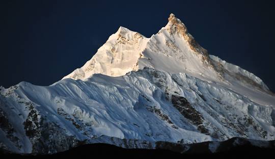
Manaslu was first climbed on May 9, 1956, by Toshio Imanishi and Gyalzen Norbu, members of a Japanese expedition. Its name comes from the Sanskrit word manias, meaning “intellect” or “soul“.
Located in the Mansiri Himal, part of the Nepalese Himalayas, in the west-central part of Nepal. Manaslu is also a good training climb for Mount Everest and is also a challenging climb on its own in one of the most scenic regions of Nepal. Climbing Manaslu typically takes around 5-6 weeks, which includes a beautiful trek to reach Manaslu Base Camp at 4,400 meters. The trekking route to get there is still pretty untouched and offers its own spectacular views and experiences. When compared to other peaks, the journey to the summit of Manaslu stands out as a unique adventure, combining both the thrill of climbing and the beauty of a pristine trekking route.
Nanga Parbat(8,125m,26,660ft)
Nanga Parbat Facts | |
| Height | 8,125m(26,660ft) |
| Location | Pakistan |
| Region/Range | Dhaulagiri Himalaya |
| First Ascent | Hermann Buhl (Austrian) |
| Summit date | Jul. 3, 1953 |
| Co-Ordinates | 35.2375° N, 74.5891° E |
| World ranking | 9 |
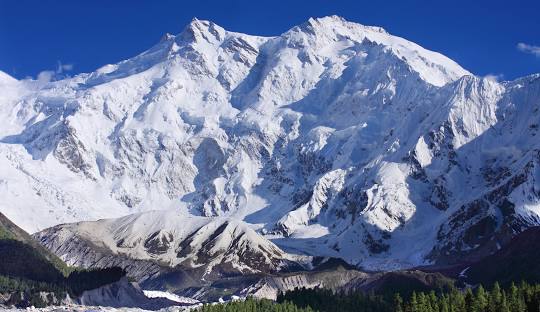
The first ascent of Nanga Parbat was a solo by the legendary Austrian climber Hermann Buhl on July 3, 1953, without bottled oxygen. Nanga Parbat literally in Sanskrit means Naked Mountain which is located in Pakistan.
Nanga Parbat has three massive faces: The Rakhiot Face, The Diamer Face and The Rupal Face. Nanga Parbat is like a top prize for mountaineers, something many dream of conquering. Climbing this intense mountain in the freezing Himalayan twilight might seem crazy, but the best mountaineers in the world can’t resist testing their skills. Just like with Mount K2, Nanga Parbat stands as the ultimate challenge for experienced mountaineers worldwide. It’s a daring adventure that only the bravest take on.
Annapurna I(8,091m,26,545ft)
Annapurna I Facts | |
| Height | 8,091m(26,545ft) |
| Location | Nepal |
| Region/Range | Annapurna Himalaya |
| First Ascent | M. Herzog, L. Lachenal (French) |
| Summit date | Jun. 3, 1950 |
| Co-Ordinates | 28.5961° N, 83.8203° E |
| World ranking | 10 |
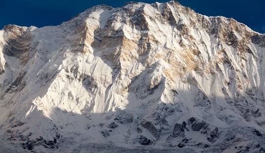
Annapurna I became the first mountain over 8,000 meters to be climbed by a French Expedition. The leader, Maurice Herzog, successfully reached the summit on June 3, 1950.
Annapurna I is part of the Annapurna massif, nestled in the Nepal Himalayas. This massif is home to several peaks over 7,000 meters high. It’s surrounded by the Kali Gandaki Gorge on the west, the Marshyangdi River to the north and east, and the Pokhara Valley to the south. Towards the western side, the massif forms a high basin known as the Annapurna Sanctuary, creating a stunning and enclosed natural space.
Gasherbrum I(8,068m,26,470ft)
Gasherbrum I Facts | |
| Height | 8,068m(26,470ft) |
| Location | Pakistan |
| First Ascent | P. K. Schoeing, A. J. Kauffman |
| Summit date | July 4, 1958 |
| Co-Ordinates | 35.7193° N, 76.7106° E |
| World ranking | 11 |
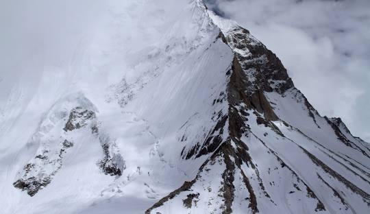
In 1958, a group of American climbers, led by Nich Clinch successfully reached the summit of Gasherbrum, making it the first ascent of this mountain.
Gasherbrum is located between Shigar District in Pakistan’s Gilgit–Baltistan region and Tashkurgan in China’s Xinjiang. It’s a mountain that shares its presence on the border of these two places, creating a unique and challenging location for climbers.
Broad Peak(8,047m, 26,400ft)
Broad Peak Facts | |
| Height | 8,047m(26,400ft) |
| Location | Pakistan |
| First Ascent | M. Schmuck, F. Wintersteller, K. Diemberger, H. Buhl (Austrian) |
| Summit date | Jun. 9, 1957 |
| Co-Ordinates | 35.8107° N, 76.5680° E |
| World ranking | 12 |
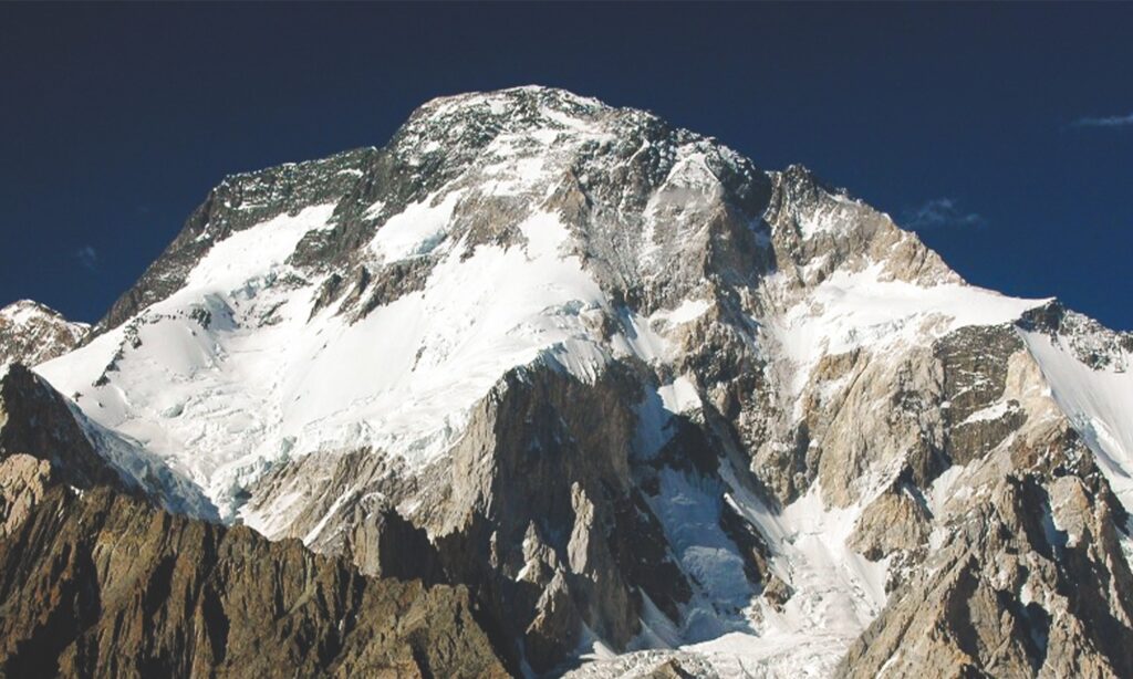
On June 9, 1957, a team of climbers from Austria, including Hermann Buhl, Kurt Diemberger, Marcus Schmuck, and Fritz Wintersteller, achieved the first ascent of Board Peak.
This mountain, sitting on the border of China and Pakistan, is just what you’d expect in the region—tall, risky, yet absolutely breathtaking. Called Broad Peak, it gets its name from a Swiss mountain that’s almost half its height. It’s a key player in the world’s most incredible mountain range, stretching from the Hindu Kush to the farthest eastern point of the Himalayas. The whole area is a showcase of towering peaks that leave you in awe.
Many climbers choose to use Broad Peak as a warm-up for K2. The reason is, that the journey from Broad Peak base camp to K2 base camp is relatively short, taking just about one and a half hours. This makes it a convenient and practical way for climbers to acclimate themselves before taking on the more challenging ascent of K2.
Gasherbrum II(8,035m,26,360ft)

Gasherbrum II Facts | |
| Height | 8,035m(26,360ft) |
| Location | Pakistan |
| First Ascent | F. Moravec, S. Larch, H. Willenpart (Austrian) |
| Summit date | July 7, 1956 |
| Co-Ordinates | 35°45′30″N 76°39′12″E |
| World ranking | 13 |
The first ascent of G II was made on July 7, 1956, by three members of an Austrian expedition under the leadership of Fritz Moravec, via the South West Ridge.
Gasherbrum II (also known as K4) is the 13th highest mountain on Earth, located in Pakistan and China. It is the third-highest peak of the Gasherbrum massif and is located in the Karakoram, on the border between Gilgit–Baltistan, Pakistan and Xinjiang, China
Shishapangma (8,013m,26,289ft)
Shishapangma Facts | |
| Height | 8,013m(26,289ft) |
| Location | Tibet |
| First Ascent | Hsu Ching and the team of 9 (Chinese) |
| Summit date | May 2, 1964 |
| Co-Ordinates | 28.3525° N, 85.7792° E |
| World ranking | 14 |
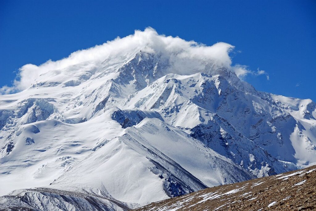
Shishapangma was first climbed via the Northern Route on 2 May 1964 by a Chinese expedition led by Xǔ Jìng.
Shishapangma is located in south-central Tibet, five kilometres from the border with Nepal. Climbing up Shishapangma using the usual route is not too tricky. It’s non-technical, meaning you don’t need advanced climbing skills. The path includes large areas of snow that you can even ski on, adding to the adventure. There’s a stunning ridge leading up to the summit, and the climb is relatively safe with not many risks to worry about. It’s a great option for those looking for a challenging yet manageable climb.
Final Say
The mountains that stand above 8,000 meters are like nature art. They are supercool to watch and their beauty amaze everyone. The mountain’s beauty is like something that will never get old. They are like a timeless wonder which attracts people in with their majestic presence and challenging allure.
Posted on


